We start from the GATE located at the door of the town and near the touristic office. The road, to the delight of lazy cyclists, descends for 18 kilometers, costing Mount Calcinaio on one side and the Crete dell’Orcia nature reserve on the other.
Downstream we meet the river Orcia that flows silently.
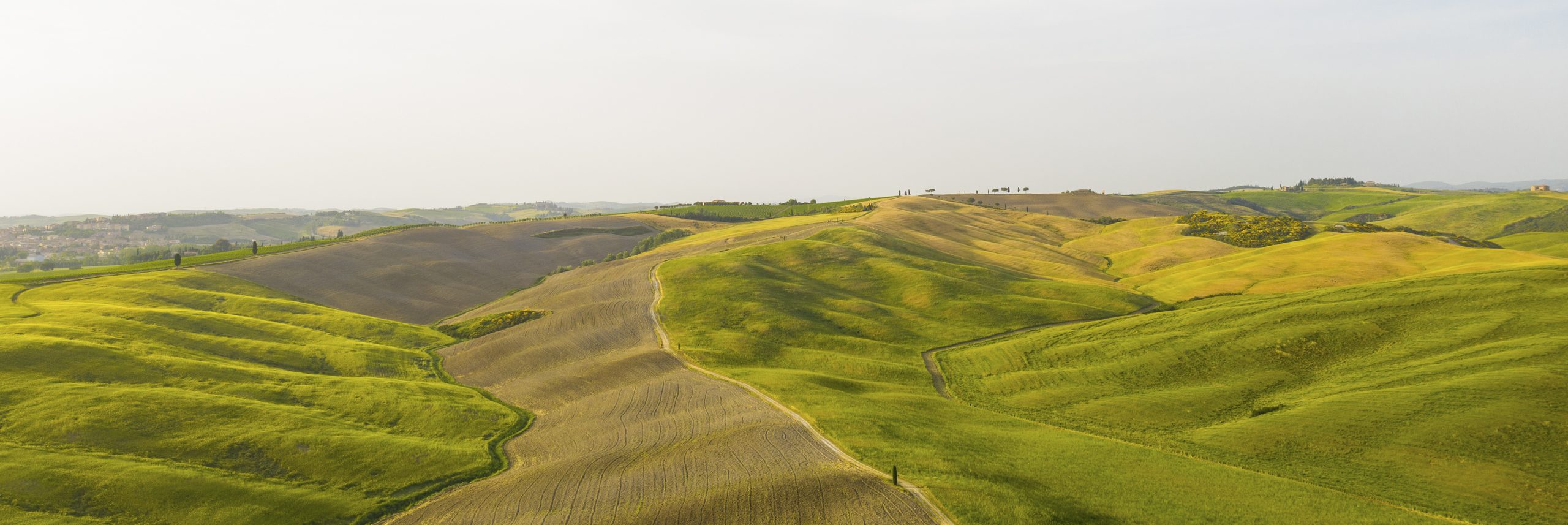
Etruscan-Roman origins begins. The beautiful medieval village of Contignano is located along the Via Francigena and was disputed in ancient times by various lords. Today it has many small farms where excellent quality cheeses are produced. In the background “the sacred mountain” Amiata, presented in all its majesty. We have to be slow and stop often, to fully appreciate all the features of the place, but the problem does not exist because the continuous hard tears amply justify a choice apparently due to contemplative needs. After the meeting with the principal road, we continue going up and the view of the fortress, punctually marks the nearby destination of Radicofani with his impsing fortress, located at 792 meters high.
Strade di Siena > Ghino di Tacco Tour | > Itinerario
Ghino di Tacco tour – Itinerary
The Route
- Length: 34 km
- Differnce in altitude: 676 mt+
- Max slope: 11%
- Road surface type: asphalt
- Bike type: all types
- Path downloadable from open runner: 9105345